What to know about the winter storm coming ahead of the holiday weekend
Temperatures could plummet into the single digits. Exposed skin can develop frostbite within 30 minutes.
City officials are urging residents to remain indoors until Saturday as a winter storm is set to create dangerous conditions.
The Department of Streets and Sanitations will deploy eight salt trucks, beginning Thursday, according to a news release. Whiteout conditions and large snow drifts will make driving unsafe, so officials are encouraging residents to avoid the roads if at all possible, until the snowfall ends Saturday.
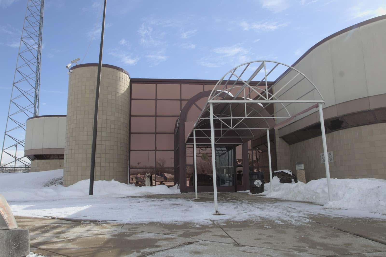
There are two warming shelters located in Harvey—the Harvey Police Department and Harvey Fire Department—where residents can go, if need be.
The National Weather Service has implemented a winter storm advisory for much of the Chicago area. Snowfall is estimated to be anywhere from six to 12 inches, with wind gusts of nearly 55 miles per hour, moving eastward as the week progresses.
As of 11a.m. this morning, snowfall is already creating visibility difficulties and bringing winds gusts of 35mph, according to the NWS tracker.
Temperatures are predicted to plummet into single digits. Wind chill could bring that to -25 degrees Thursday evening and -40 degrees Friday morning, NWS officials warned.
.Arrival time of hazardous travel conditions today: Arctic front will sweep across the area from late AM thru early aftn from west to east, with accumulating snow, plummeting temps & gusty winds. A flash freeze may cause ice covered roads, topped by the snow. #ILwx #INwx (2/6) pic.twitter.com/q7dMame07q
— NWS Chicago (@NWSChicago) December 22, 2022
The latest
As of 12:30p.m., Thursday, December 22
1230 PM CST – The cold front began pushing into Indiana midday, ushering much colder air into northern Illinois. With increasing northwest winds this afternoon, wind chills will fall through the positive digits and into the negative digits from west to east. #ILwx #INwx pic.twitter.com/K7z3eutB3e
— NWS Chicago (@NWSChicago) December 22, 2022
As of 4:30p.m., Thursday, December 22
Bitter cold temperatures and wind chills continue to push into the region this afternoon. This trend continues overnight, lingering through the remainder of this week into the upcoming weekend as gusty westerly winds hold in place. #ILwx #INwx pic.twitter.com/jqN0G6UDry
— NWS Chicago (@NWSChicago) December 22, 2022
As of 3:00p.m., Friday, December 23
Gusty winds and blowing snow will prevail throughout the remainder of this afternoon and overnight, as this bitter cold winter system continues to bring major impacts to the region. Wind chills remain well below zero, if necessary, bundle up with multiple layers. #ILwx #INwx pic.twitter.com/vHbVH92piN
— NWS Chicago (@NWSChicago) December 23, 2022
We’re filling the void after the collapse of local newspapers decades ago. But we can’t do it without reader support.
Help us continue to publish stories like these
Author

Related Articles
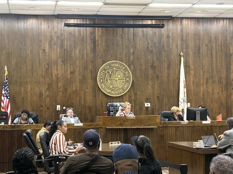
Harvey seeks $500,000 for aging water infrastructure
The city will apply for the federal funding to ease water main breaks after the City Council approved the measure during the March 9 meeting.
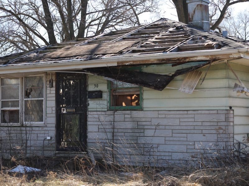
PHOTOS: In Dixmoor, a Cook County commissioner’s home languishes
While the 5th district’s Kisha McCaskill claims tax exemptions that reduce her bill on a Dixmoor home, it’s become an eyesore without proper upkeep.
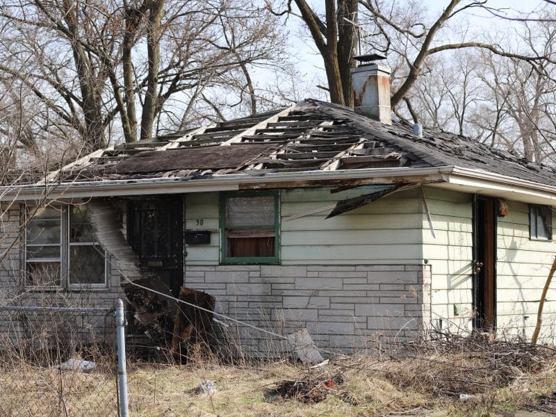
Cook County Commissioner Kisha McCaskill claims tax exemptions on abandoned Dixmoor property
Although she claims homeowner and senior exemptions, McCaskill does not reside in the home, which is a vagrant. The Cook County Assessor’s Office has referred the matter to its erroneous exemption department for investigation.